About Me

My photo
Just a meandering soul sharing my backyard. Visit my Flickr page too! www.flickr.com/photos/meanderingwa/
Showing posts with label patterdale. Show all posts

Friday, June 28, 2013

Like Here Only Different ~ Day 6 Patterdale to Bampton Grange

Patterdale to Bampton Grange 14 miles / 22Km 6hours ~  Patterdale - Kidsty Pike - Hawswater Reservoir - Burnbanks,  Staying at Crown and Mitre Hotel www.crownandmitre.com 

The day is rated the most tough of the walk.  Starting right up from 500 feet to 2558 feet in 5 miles with two 1000 in 1 climbs, Kidsty Pike is the highest point on the walk.  Once up on Kidsty Pike, you go right back down to slightly below 1000 feet in 1 mile; a 1500 foot descent.

The guidebooks also mentions many boggy places.  I know my boots are waterproof but still, I hate boggy ground.

It is here were I start using all the supplemental maps provided by Sherpa Expeditions.  A bad weather route follows Ullswater circuiting the Kidsty Pike and even gives two options one low on the water and the other cutting upland.  I also need my extra maps as my hotel is not on the regular route.  It is said a visit to Ullswater inspired Wordsworth to write "I Wandered Lonely as a Cloud"


Today's weather was not favoring a single, cautious walker.  I know my companion of the last few day was going to do the route described above.  I opted to be conservative and take the bad weather route suggested by Sherpa.

It was an excellent choice.  I studied the maps and came to the conclusion that today's walk is probably 15 to 18 miles total.

My feet certainly feel it.  The trail walked the south bank of Ullswater to the halfway ferry dock, about 6 miles.  I then walked up and over Askham Fell about 8 more miles.  Finally down lanes and roads into Bapton Grange.

Being along the lake and in woods I got to hear a lot of songbirds.  I was able to spot several types of finch, a few of the tits (chickadees) and one of the medium sized woodpeckers which I only remember the German name , something like Mittlespeckt.

Over the fell I was into country I have not yet experienced.  Wide rolling tracks of grass and Bracken fern.  Sheep pop up out of nowhere.  For navigation I have three OS maps, which are what many hikers use for long trips.  My maps told me that I would stay on the obvious track until I came to "The Cockpit"

And there it was, faster than I expected.  The open ground is easy to stride across...none of this rocky, wobbly stepping.

What is The Cockpit?  It is an ancient stone circle,my first. The path along here was also part of a Roman Road.


More fun birds to see, arguing Raven, fighting Pied Wagtails and most unexpectedly, a Curlew.

I came down into the village via beautiful sheepfolds and small back lanes.


I had about three miles to go when the Sherpa Van zipped past me.  I felt a little deflated by then forced myself to push on.

As usual, a shower, a tea with cookies ( gingerbread from Grasmere) and a review of foot condition.  I had to book a table for dinner as the young man said, "It's Friday,we get busy.

It is Friday, I cannot believe I have come so far.

As I rest upon my bed, the sun had come out and the beautiful garden of the home next door has quite a lively bird population.

We are out of the mountains and distances will go faster, but not always easier.  This may become the time for longer days and and more attention to maps as to rove between one sheep farm to the next cattle farm...

With the occasional ruined historic site thrown in.

Thursday, June 27, 2013

Like Here Only Different ~ Day 5 Grasmere to Patterdale

7.5 miles / 12 Km 5 hours for standard route.  Add 2 miles and 2 hours for ~ Helvellyn.  Add 1 1/2 hour for St Sunday Craig. 
Grasmere - Grisdale Tarn
> Option 1  Helvellyn and Striding Edge ( Dixon Memorial) 
>Option 2 St Sunday Craig
>Option 3 Valley floor, multiple streams - Elmhow Plantation
all meet and into Patterdale. 
Tonight I stay am at Grisedale Lodge www.grisdalelodge.co.uk  and dinner is at the White Lion Pub.  www.patterdale.org/Whitelion.htm

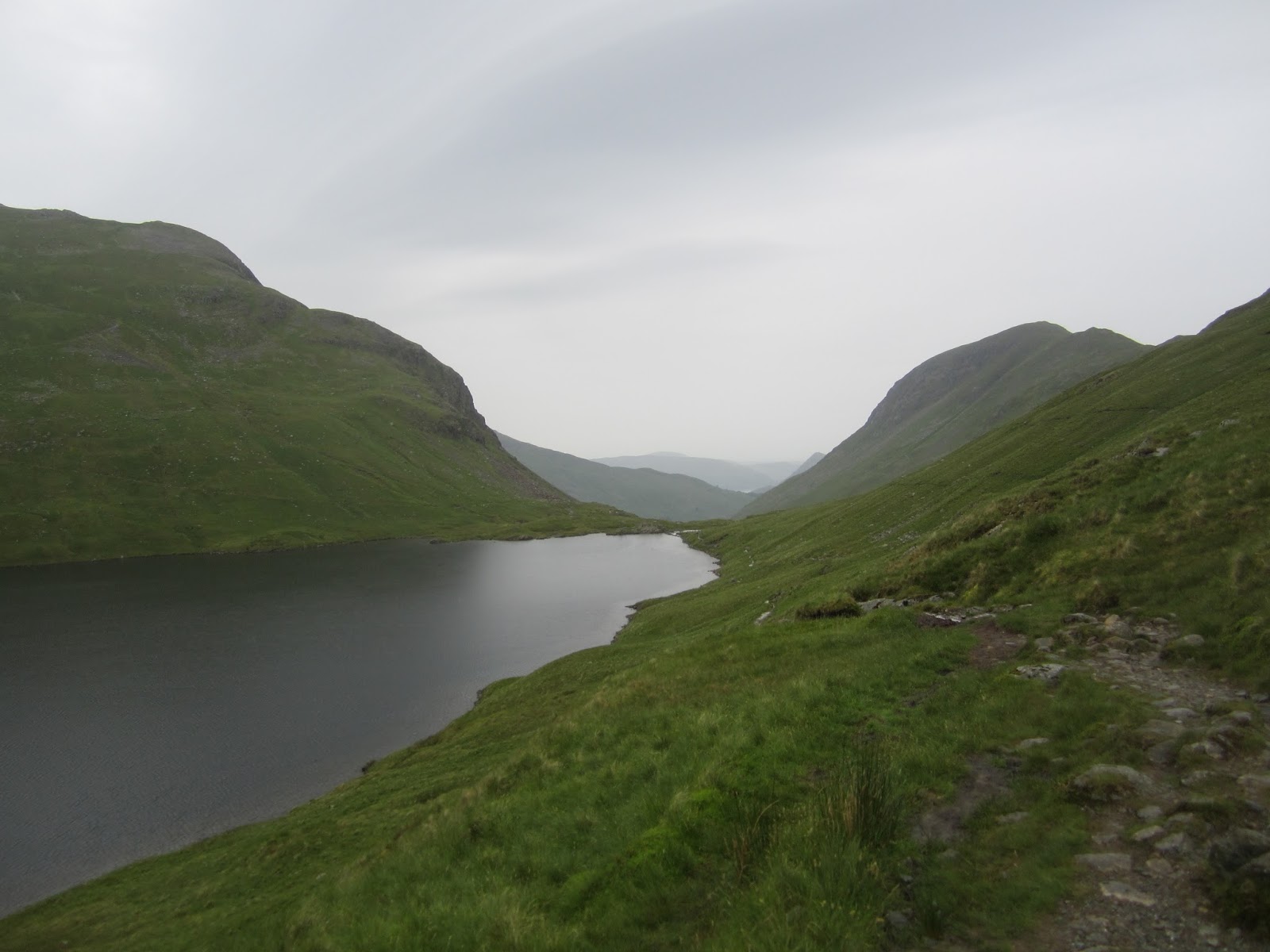
A short but classic day.  Helvellyn is the third highest peak in England at 3118 feet.  It is a steady hike up from Grasmere to Grisdale Tarn where a decision must be made;  Helvellyn tough but a great highlight, St Sunday Craig, at 2756 a fine climb with kinder gain and descent.  The third route for those weary of leg or for when the weather is foul is and long gentle 6 mile valley floor descent to Patterdale. 

Helvellyn is quickly followed by Striding Edge.  Open knife-edge ridgeline walk that is thrilling for its views.  The guide book says Striding Edge can be walked in 20 minutes but to allow 1 hour for busy times where the narrow trail requires pulling aside and waiting for others coming from the opposite direction.  It is, perhaps, best tackled early in the day.  All the way up here is a memorial to Robert Dixon, who was killed in 1858 while following his fox hounds during a hunt.  That is tough sport in a tough country.  This is the place I want to be.  If it is a fine clear day, I will know it is the highlight of the trip.

St Sunday Craig is said to hold better views and fewer thrills.  The guide book describes it as a "steady plod" and far less strenuous than Helvellyn.  In recent weeks I have walked a route that makesj the steady 1000ft/mile climb (and even sharper descent) and feel OK for Helvellyn if the weather is OK.  The guide book says winds on St Sunday and be quite fierce, but the footing is better.


Well ,that is the tour book rundown.  The reality is that the day is drizzly and while I am feeling a bit better, I am in no shape for the extra miles and elevation.  I chose the valley route and it was awesomely wonderful.


The hills here remind me a bit of the scarred basalt ridges you see from Yakima north into the Okanagen However the are covered in green and dotted with sheep.


Sheep.  Funny things.  I asked one of my fellow travelers about how they keep control of the animals in what is open range.  He said ,as a rule the sheep had been living in this valley for so many generations, they simply don't stray.  Looking up these high hills, really we are in glacier carved canyon / valley, you can see stone walls running down the hillsides.  What a tough breed of people created all this.

With their bare hands.


This is Ruthwaite Lodge.  Stone built hut used for search and rescue.  We are at the backside of Nethermost and Dollywaggon Pike.  I hope you can see the detail of the waterfalls behind the building.

On the way up Tongue Gill there were local NP workers and volunteers doing work on the stones of the stair climb route.  I made sure to thank them for their effort.

I opined to one NP staffer that a least marker is really needed in the place we went astray yesterday.

He politely smiled and said "Yes"

Sort of as if he had heard it before.

At  dinner tonight and ran into a gent who started day one with me.  Tomorrow is his last day and it sounds like he will be trying the high mountain route.  Weather does not favor that for yours truly, so I am going to use the alternate route suggested by Sherpa.  I sat down with the maps and some info here at the hotel.  I found that there is an option of taking a boat part way up the lake, saving seven miles.